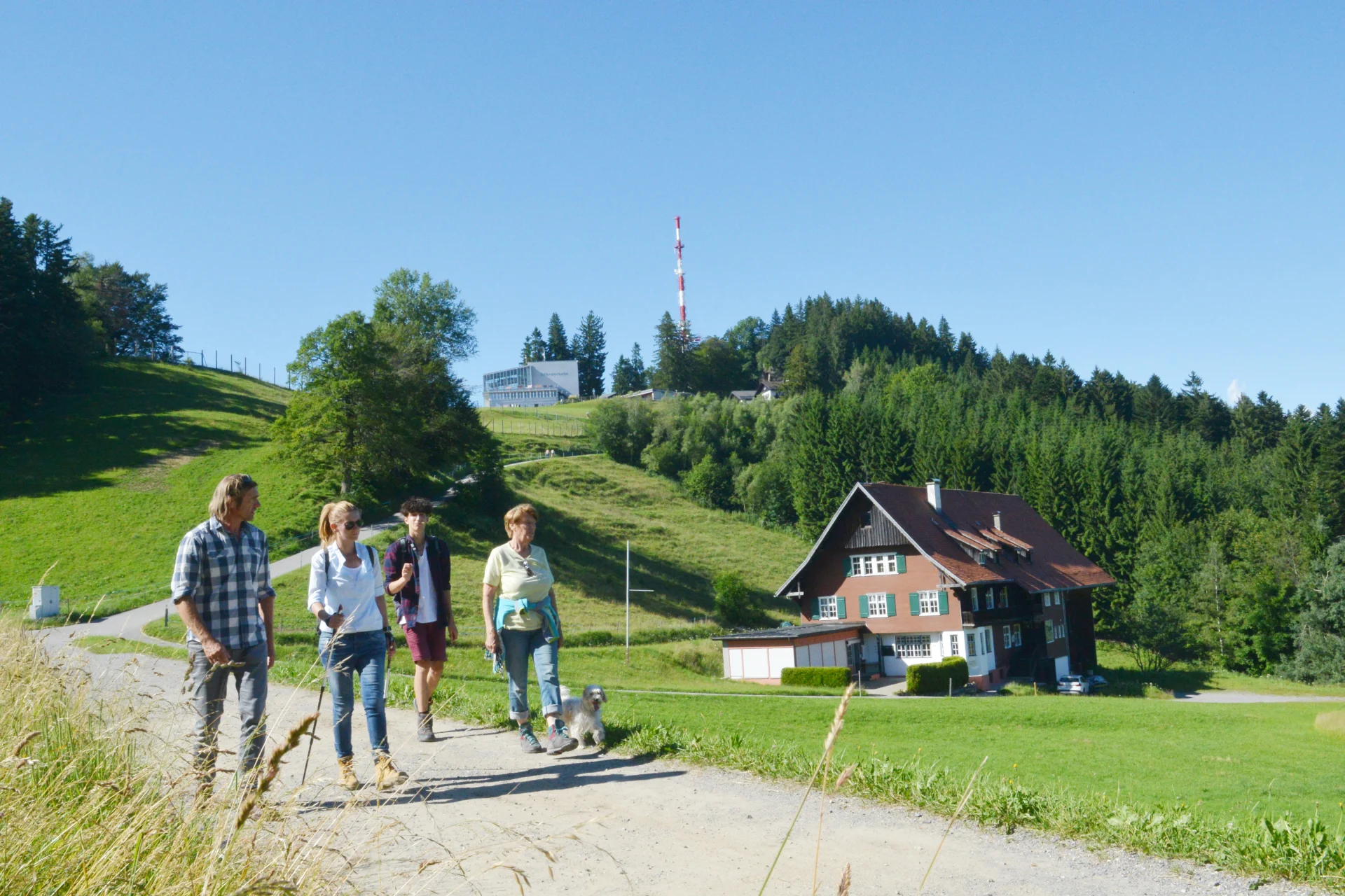
Hiking at the Pfänder
Pfänder: A Hiking Paradise with Stunning Views.
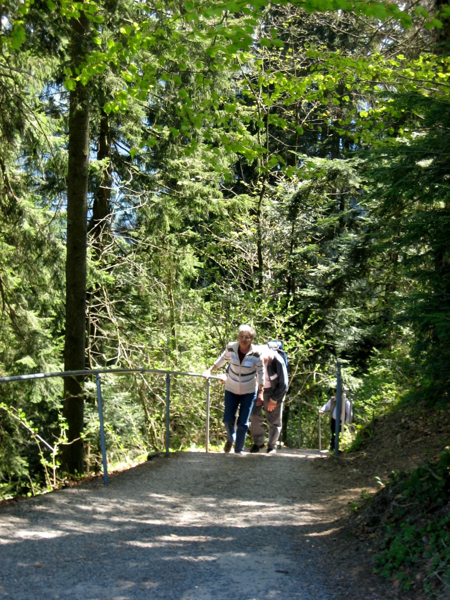
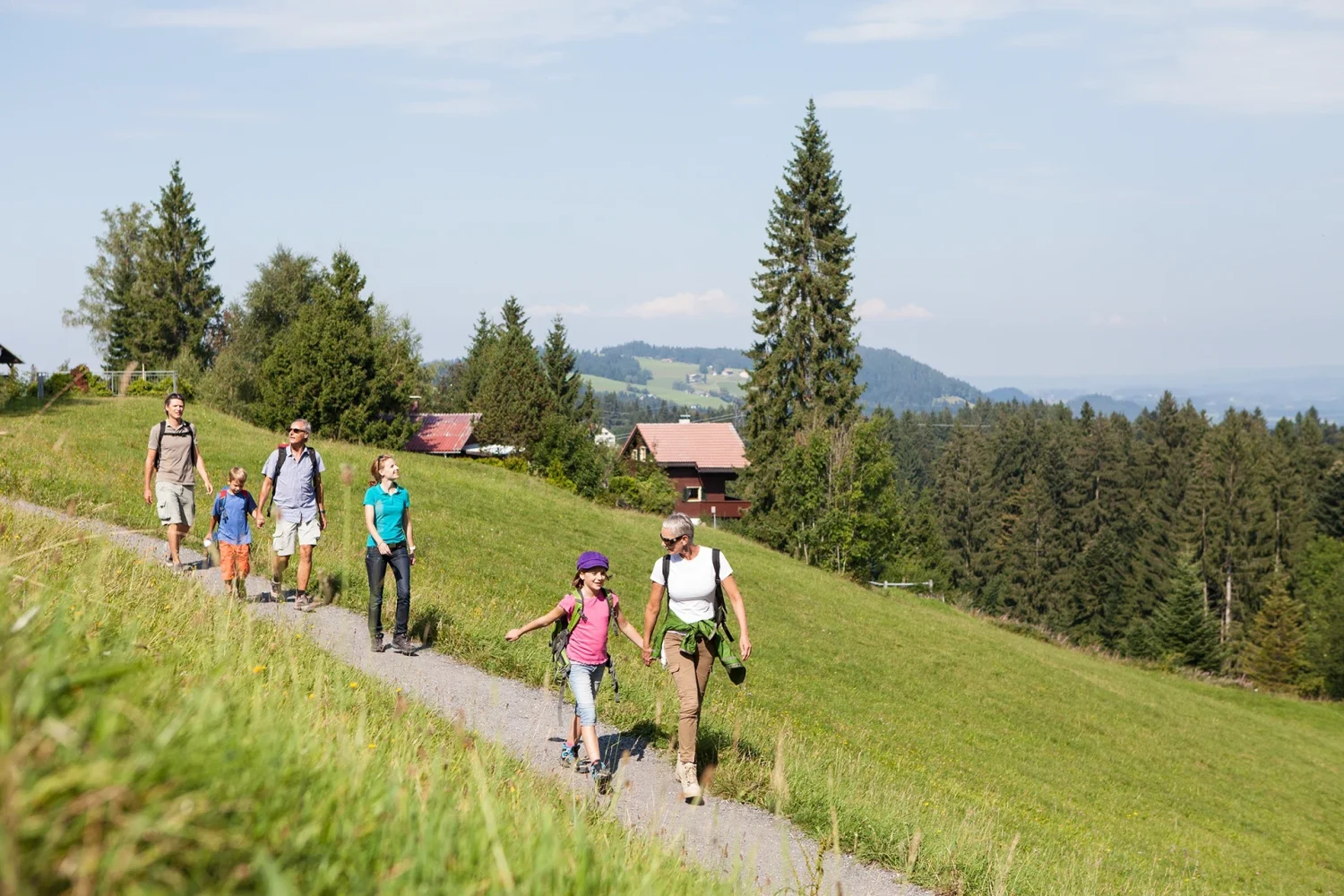
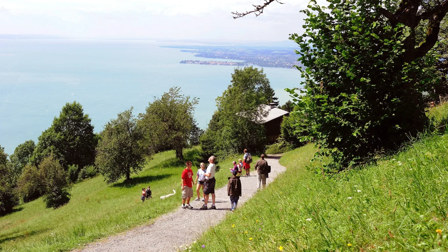
From a short loop hike through the Alpine Wildlife Park to an extensive hike covering three peaks over 1,000 meters: a well-maintained and signposted trail network awaits you.
- Mountain terrain –sturdy, all-terrain footwear recommended
- Wheelchairs/strollers —suitable only in the immediate vicinity of the mountain station
- Personal responsibility —Pfänder Cable Car is not responsible for maintaining the trails
- Equipment —hiking clothing, sturdy footwear, sun and rain protection, beverages (also available at the kiosk at the mountain station or in the restaurants)
Your hiking adventure on the Pfänder awaits!
Welcome to this scenic hiking paradise
with a perfectly developed and well-marked network of trails to suit every taste!

Short Hiking Trail
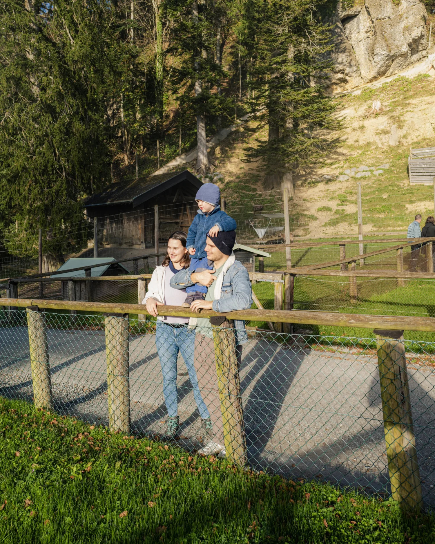
The Alpine Wildlife Park loop in just 30 minutes—perfect for families and leisure walkers!

For Explorers
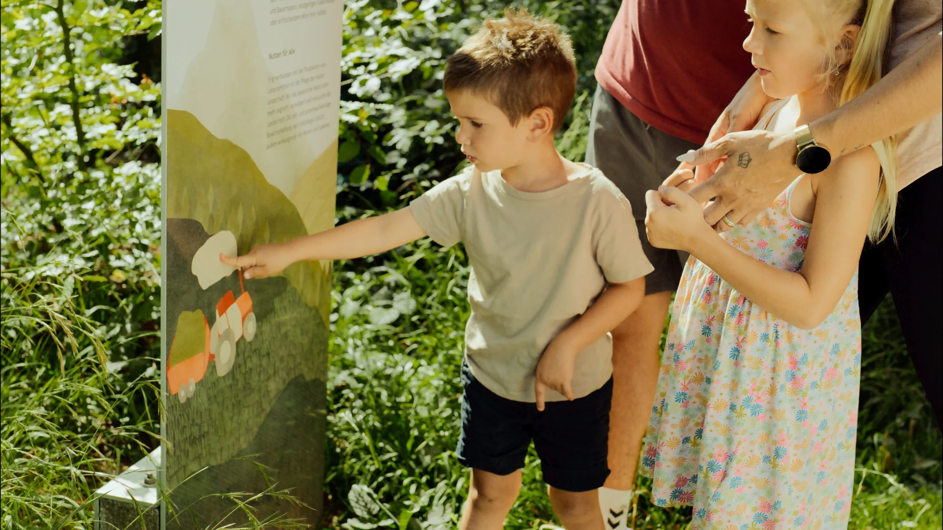
This unique cheese culture hike takes you along the Cheese Nature Trail, which features informational signs explaining traditional cheese-making methods (3–4½ hours). A variety of places along the way invite you to stop for refreshments or to enjoy regional specialties and taste delicious cheese.

For Mountaineers
This spectacular tour of three peaks reaching over 1,000 meters takes you to the Pfänderspitze (1,064 meters), the Hirschberg (1,095 meters), and the Hochberg (1,069 meters)—offering breathtaking panoramic views! (5 hours)

Cross the Border
The high-altitude hiking trail to Scheidegg (Germany) offers spectacular panoramic views of the Alps! (3½ hours)

Get Started Flexibly
Whether you prefer a loop trail starting at the mountain station or an ascent from the valley— choose from 7 different routes ranging from 1¾ to 3½ hours!

Pro Tip
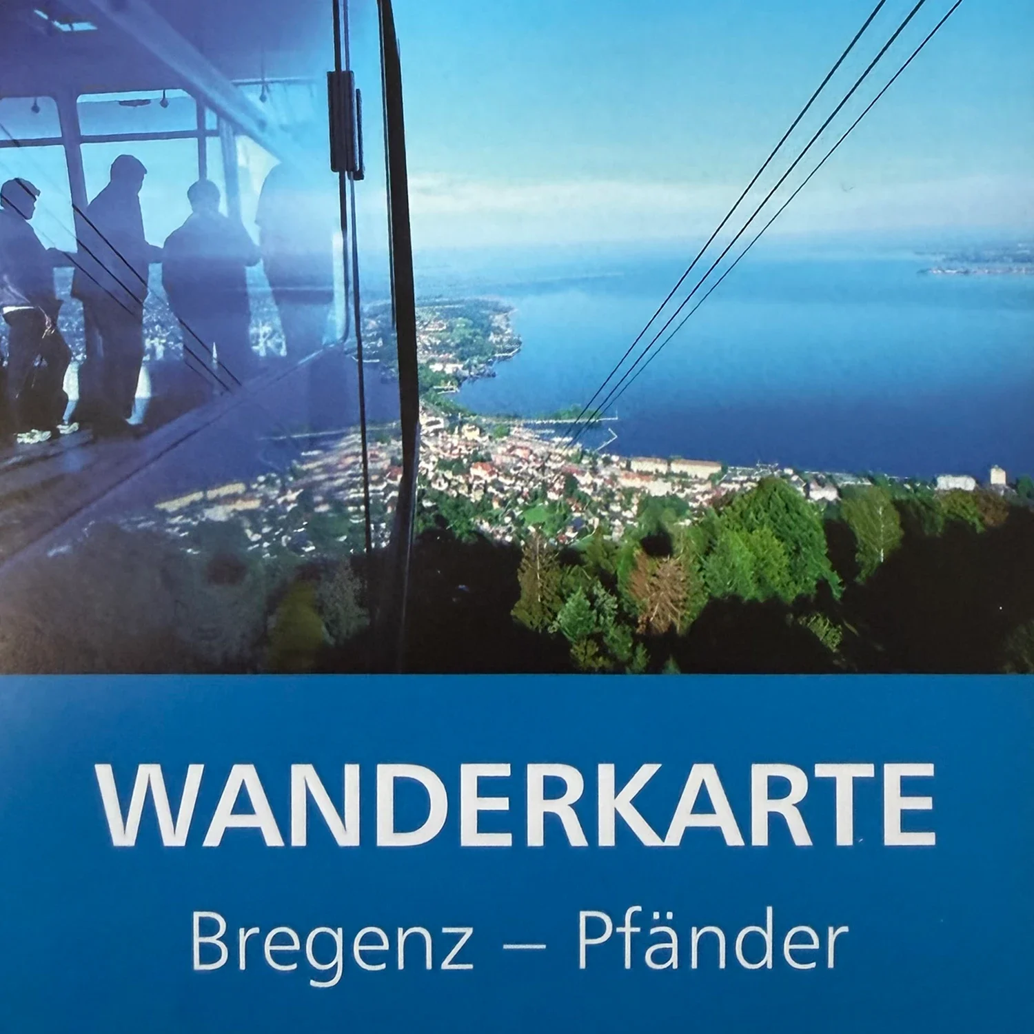
Detailed hiking maps are available for just €2.00 at our ticket counters!

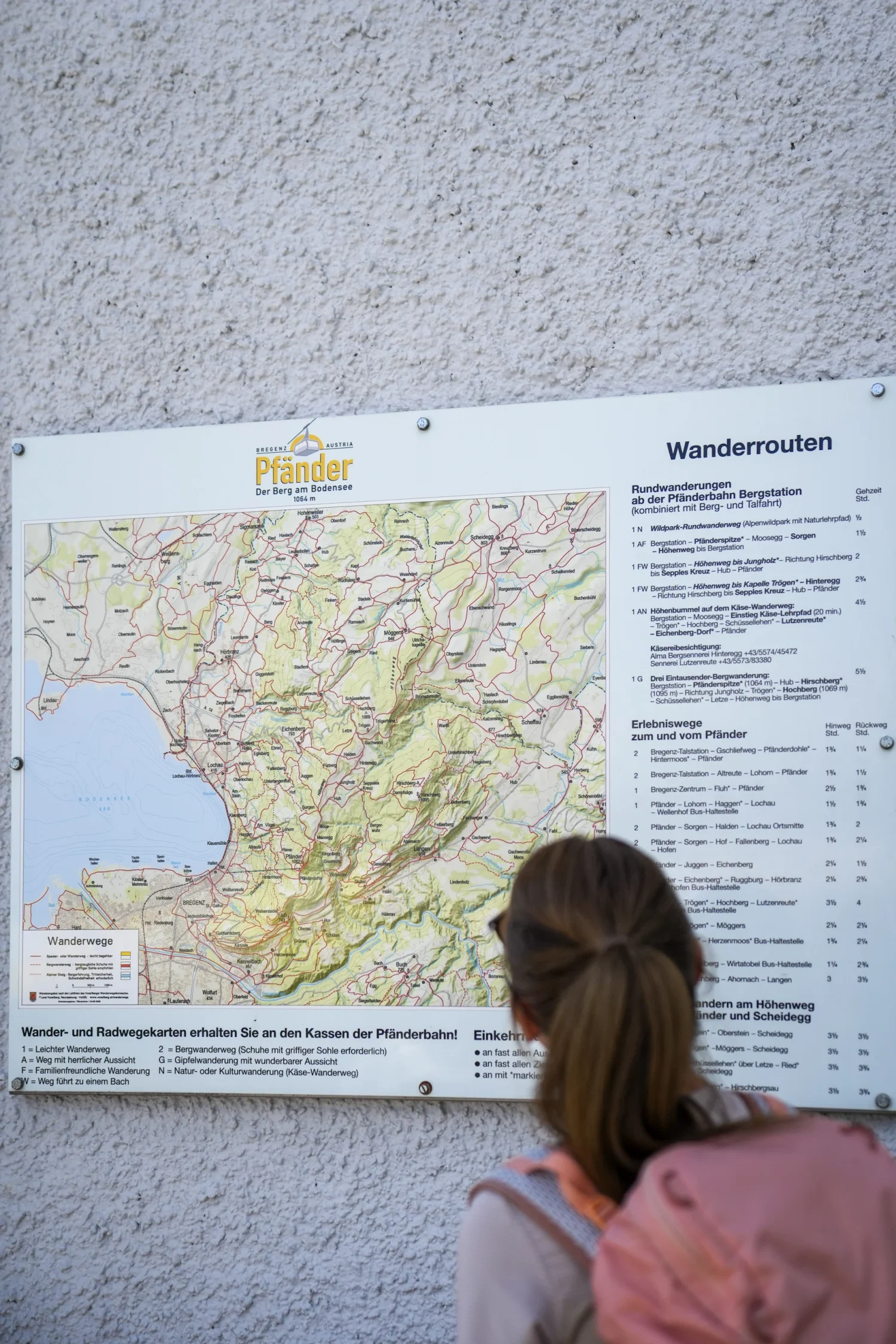
Hiking Trails on the Pfänder
Hiking trails to/from the Pfänder (ascents)
- Bregenz Valley Station – Gschliefweg – Hintermoos – Pfänder (walking time: 1 hour 45 minutes)
- Bregenz Valley Station – Altreute – Lohorn – Pfänder (walking time: 1 hour 45 minutes)
- Lochau–Haggen–Lohorn–Pfänder (walking time 3 hours) – Sweden Trail
- Bregenz City Center – Fluh – Pfänder (Walking time: 2 hours 30 minutes)
- Lochau – Halden – Sorgen – Pfänder (walking time 2 hours)
- Eichenberg – Juggen – Pfänder (walking time 1 hour 45 minutes)
- Langen – Ahornach – Hirschberg – Pfänder (Walking time: 3 hours 30 minutes)
Valley Hikes (downhill)
- From the mountain station down to the valley via Hintermoos (walking time: 1 hour 15 minutes)
- From the mountain station via the Fluh down to the valley (walking time: 1 hour 45 minutes)
Loop trails starting at the mountain station
- Upper Station – Pfänderspitze – Moosegg – Sorgen – High Trail (walking time: 1 hour 30 minutes)
- Mountain station – High-altitude trail to Jungholz – Hirschberg to Sepples Kreuz – Hub (walking time 2 hours)
- Mountain station – High-altitude trail to Trögen Chapel – Hinteregg – Hirschberg to Sepples Kreuz – Hub (walking time 2 hours 45 minutes)
Josef-Rupp Cheese Culture Trail
- A hike along the Pfänder’s ridge
- Educational trail with information boards on cheese production
- Visits to an alpine dairy available for groups upon request (Rupp AG: kundenservice@alma.at)
- Numerous places to stop for refreshments with homemade specialties
Route
Mountain station – Moosegg – Start of the Cheese Culture Nature Trail (20 minutes) – Trögen – Hochberg – Schüssellehen – Lutzenreute – Eichenberg village – Pfänder.
The walking time is between 3 hours and 4 hours and 30 minutes.
Special Hiking Trails
- Alpine Wildlife Park Loop —includes a nature trail (walking time approx. 30 minutes)
- Three 1,000-meter-high peak hike – Pfänderspitze (1,064 m) – Hirschberg (1,095 m) – Hochberg (1,069 m) (walking time approx. 5 hours)
- High-altitude hiking trail to Scheidegg (Germany) (walking time approx. 3 hours 30 minutes)
Infrastructure & Services
- Well-developed network of trails —signposted hiking trails
- Hiking maps —detailed maps available for €2.00 at the ticket counters
- Brochures – Cheese Culture Trail (Käsewanderung) brochure available for download
- Educational trails– Cheese Culture Trail (Käsewanderung) with information boards on cheese production
- Alpine dairy visit– Available for groups upon request
- Places to stop for refreshments —numerous inns offering homemade specialties
Panoramas & Views
- Wonderful views —unique panoramas
- Spectacular mountain scenery —a hiking paradise with stunning views
- High-altitude trails —magnificent views across the Alps
Important Information
- Mountain terrain —sturdy, all-terrain footwear recommended
- Wheelchairs/strollers —suitable only in the immediate vicinity of the mountain station
- Personal responsibility —Pfänder Cable Car is not responsible for maintaining the trails
- Equipment —hiking clothing, sturdy footwear, sun and rain protection, beverages (also available at the kiosk at the mountain station or in the restaurants)
- No shops —no shopping facilities in the mountains